

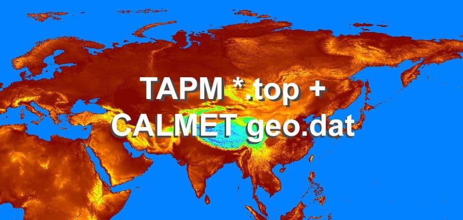
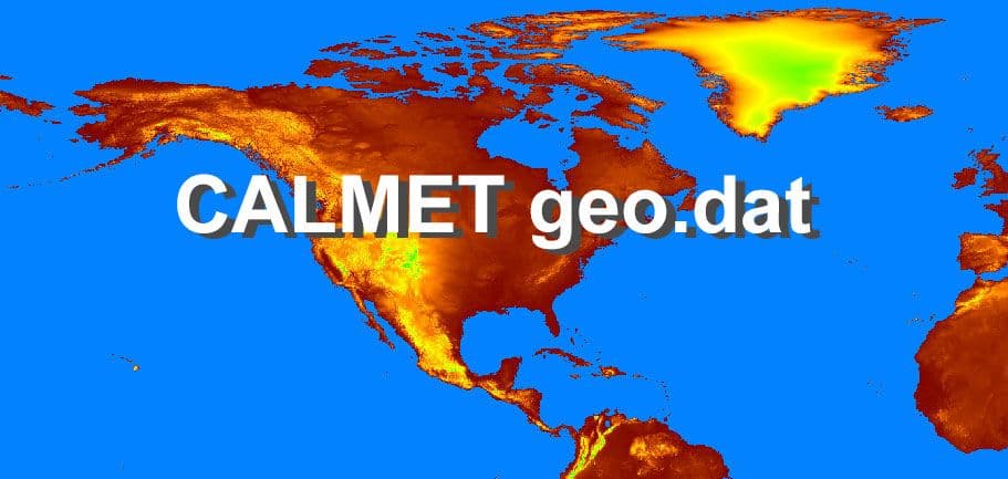
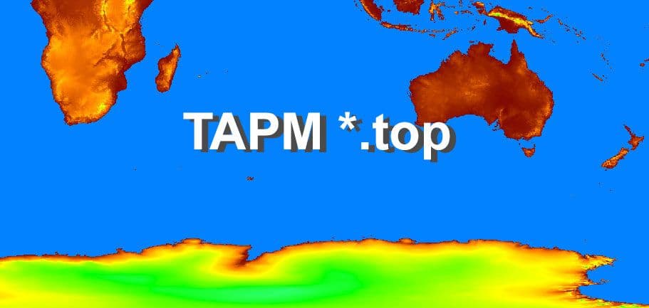
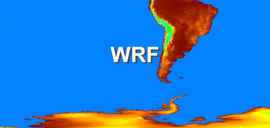
Custom high-resolution terrain, land-use and coastal datasets for TAPM, CALMET, WRF and other air quality models, built from current GIS sources instead of the outdated default databases shipped with those models.
We know that model development continues. Every few months or years, new improved versions are released that address known issues and improve on the algorithms based on advances in research. However, improvements to the geographic databases do not occur at the same rate as model improvements. For example, areas that were classified as forests or agricultural land at the time may already have been converted to urban areas.
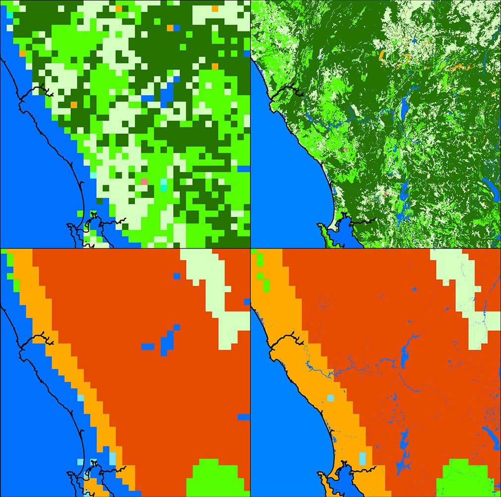
Did you know that some of these default datasets had issues which resulted in the incorrect representation of some coastlines, with some being represented more than 10 km from their correct locations?
Furthermore, model runs should not be limited by the resolution of the default dataset. Geographic data have certainly increased in their accuracy and resolution in more recent years. Technological advances mean that models can be run in finer resolutions compared to when they were initially used. So, if higher resolution model runs are required for a study, it stands to reason that higher resolution datasets should be used.
Is it worth improving the geographic datasets?
Maybe. Maybe not. It really depends on your study.
Models are representation of reality. They are simulations of what we believe happened in the period of time we are trying to re-create. Assumptions to simplify calculations are made by the model.
Land use changes over time. If the default dataset is significantly different from the reality, then the default data should not be considered good enough. It may have been true at the time the dataset was developed, but it may not true anymore. It is our job as modellers to ensure that the input data we are using to drive the model is as close to reality as we can get it. Or to make the call that the difference from reality is not going to make a difference in the model simulation.
Yes, there are times when it may not matter. For example, if your modelling domain's geographic profile has remained consistent in the last twenty-five years, then using a new dataset would not make a difference.
There are also times when the changes to the geographic profiles are critical. Of course, the significance may not be identified until later stages of the study, particularly after running the meteorological and dispersion models and processing the results. This is not the stage where you want to realise that something needs to be fixed. Going back to square one when the results don't make sense would not be the most efficient use of a consultant's time.
Manual manipulation of the datasets (i.e. opening the geophysical datasets and editing the files by hand) is a time-consuming and expensive process. As part of model configuration, this delay could cost you days in modelling time. And of course, you assume that no human error occurs in this manual step. Can your project afford this time?
Furthermore, you should also consider that geophysical databases are based on different datasets. This means that even if you manually edit some of the features, errors may remain in the others. For example, correction of coastal delineation may improve the land use and land/water mask data. However, soil or monthly leaf area index or surface temperature will still be incorrectly classified.
AQS customises each geographic dataset using a semi-automated GIS-based technique developed by AQS Principal Consultant Ella Castillo. This method uses the most relevant, recent, and highest resolution spatial data available, which may include public access data or any detailed datasets that you can provide.
The customised geographic datasets are visually compared with imagery to ensure that what you are getting is exactly what you are supposed to get. The full dataset, including other geophysical features are adjusted accordingly.
We can customise model input geographic datasets for standard models. Other formats are also available.